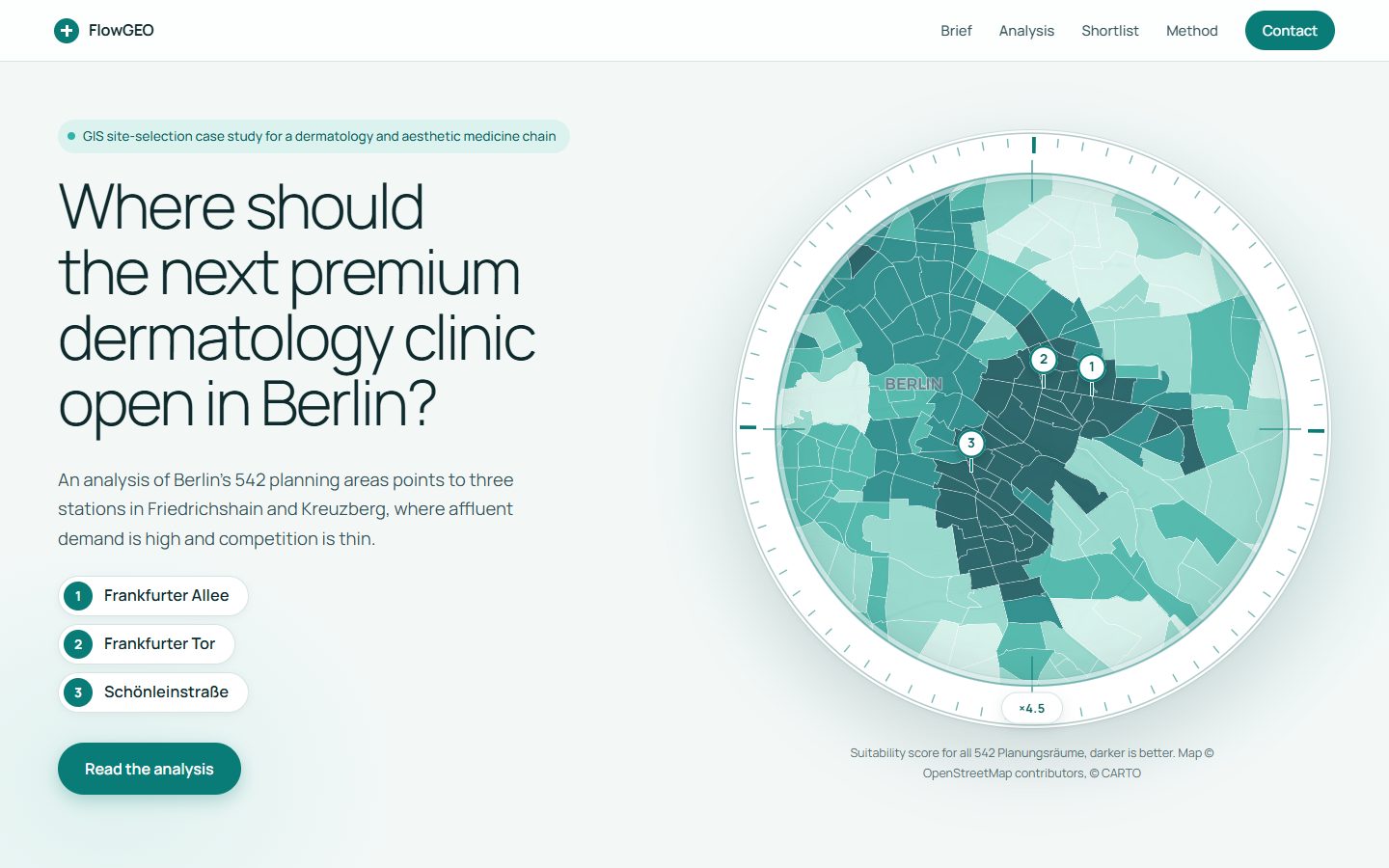
Where to open a premium dermatology clinic in Berlin
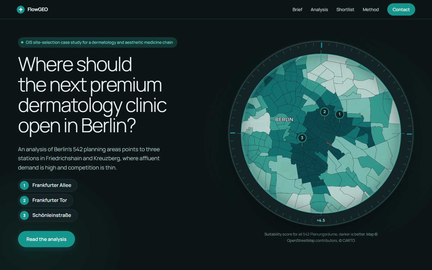
Site selection across 542 planning areas: affluent demand, competition and transit access narrow the whole city down to three stations.
I help companies make sense of where things are. Clear maps, useful answers and tidy data, explained in plain language.
GIS simply means working with maps and location data. I help you see where things are, spot patterns you would miss in a spreadsheet, and make better decisions because of it.
Where is the best place for a new shop, depot or solar farm? Which areas could flood? Give me your data and I will show you the answer on a map.
Ask about thisMaps for reports, presentations, websites or print. Easy to read at a glance and styled to match your brand.
Ask about thisAn interactive map that opens in any browser, with no special software. Your team or customers can search, click and explore your data.
Ask about thisMessy spreadsheets, old files, addresses that do not match? I clean and organise them, turn addresses into points on a map and keep everything up to date.
Ask about thisSee how land changes over time: growing towns, forests, crops or flooding. I work with satellite, aerial and drone photos.
Ask about thisNot sure how to use your mapping software? I can train you and your team, or be on hand whenever you need a hand.
Ask about thisNot sure what you need? Describe your problem in a few lines and I will tell you honestly whether I can help.
ContactRecent projects and case studies. Each one opens in a new tab, in the same language as this page.
Site selection across 542 planning areas: affluent demand, competition and transit access narrow the whole city down to three stations.
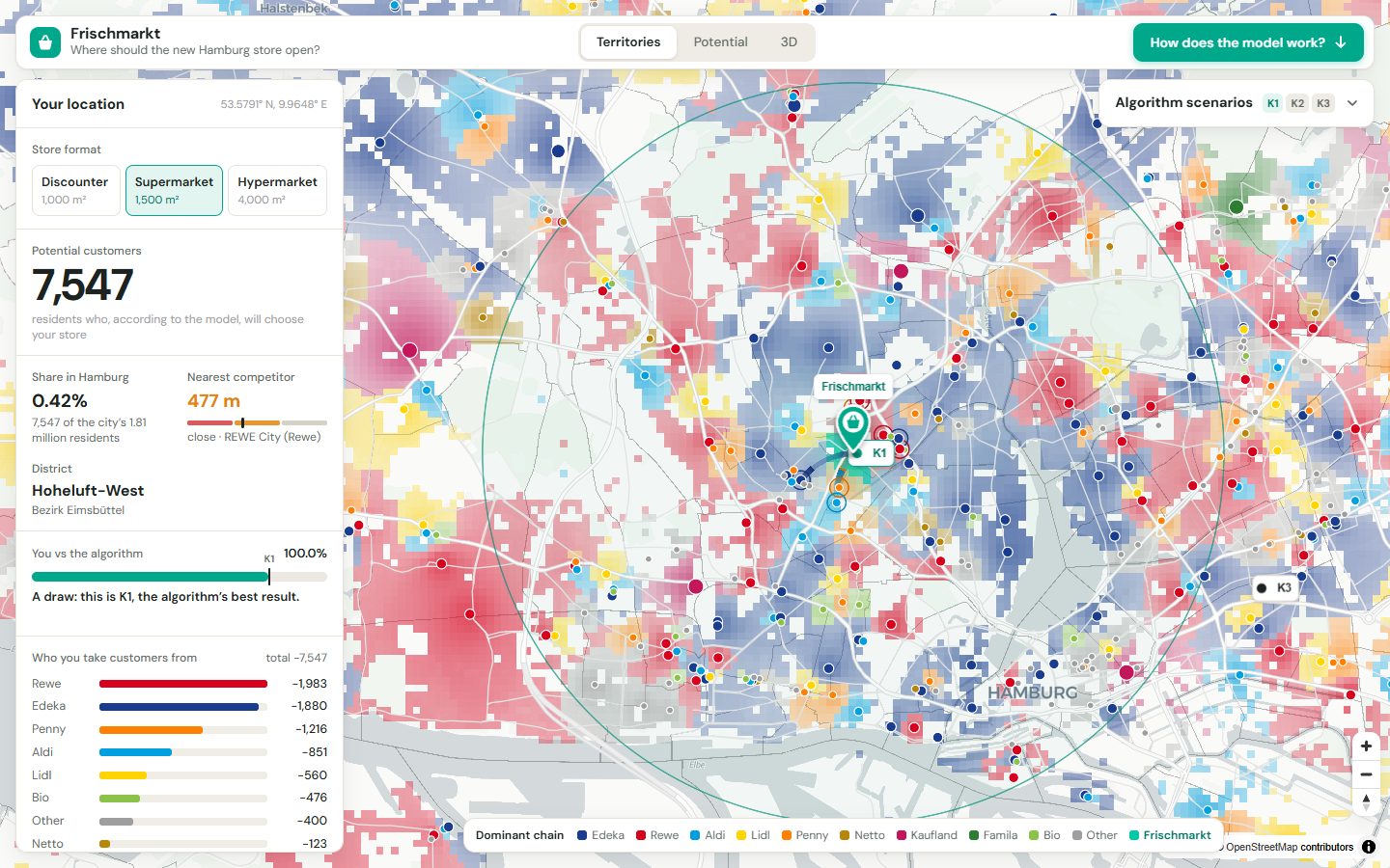
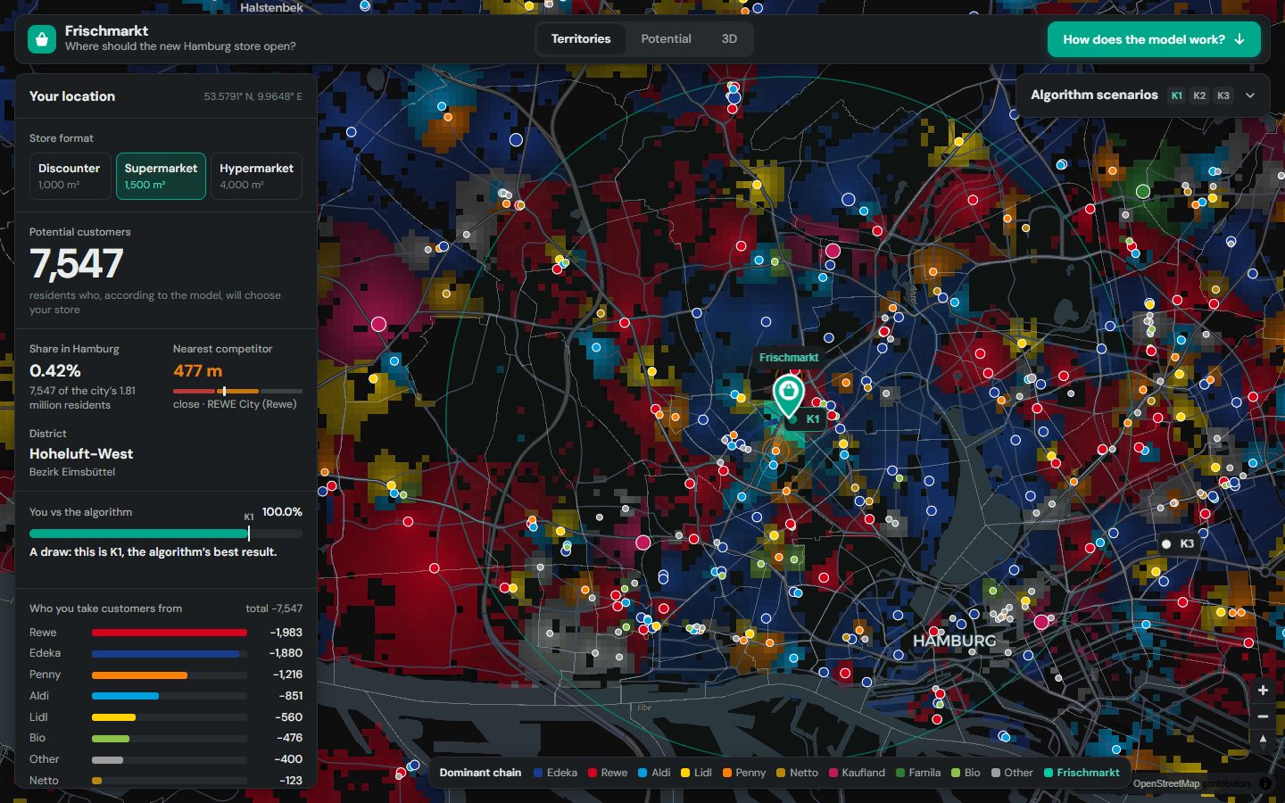
A Huff model running live in the browser. Drag the pin and see how many customers a new store would win, and from which chains.

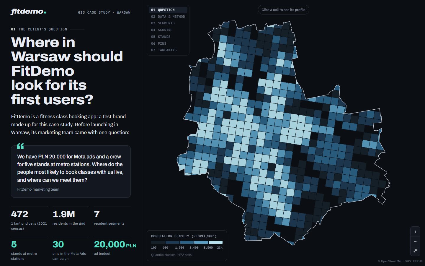
Census-grid segmentation, scoring, five metro stands and 30 Meta Ads pins with the budget split by potential.
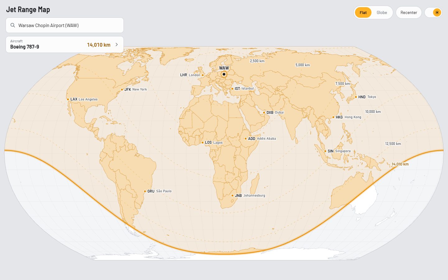
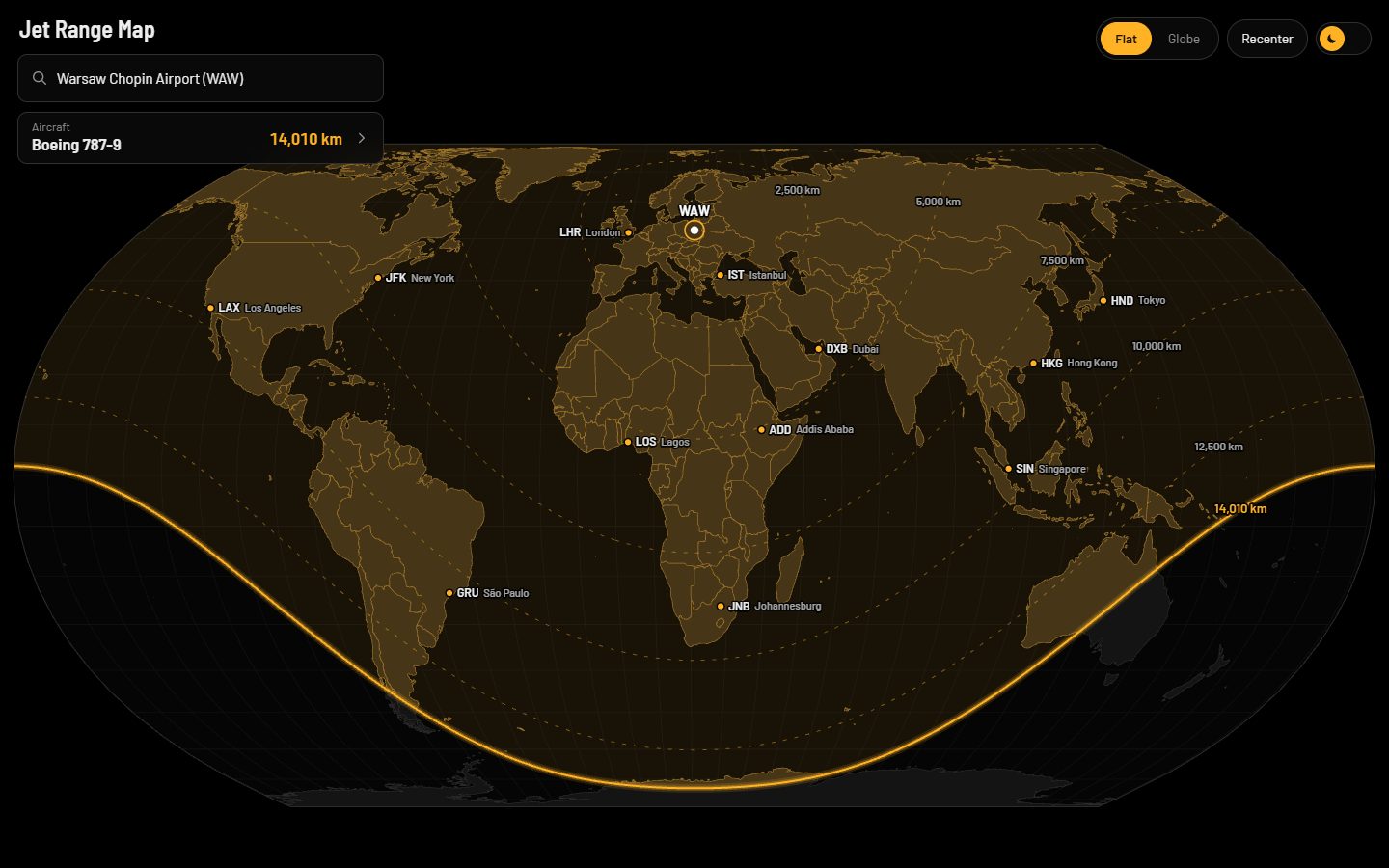
Pick any airport and aircraft to see its non-stop range on a flat map or a globe, with the hubs it can reach.
I'm a young GIS analyst, and maps are much more than a job to me. They are my biggest passion and what I enjoy working on most. I turn that passion into work for companies: spatial analysis, clear maps and interactive web maps that show where to open, who you can reach and how far you can go.
Every project starts with a conversation about what you actually need, and the work grows from there, whether it's a single map or a whole application. You deal with me directly, from the first message to the final file, so nothing gets lost in between and you always know who is working on your project.
We agree the question, the data available and what a useful answer looks like.
I audit, clean and align your data. You hear early if something is missing.
Analysis, maps or an application, with a review point along the way.
Final files, documentation and a walkthrough so your team can maintain the result.
A few lines is enough to start. I usually reply within two working days.